
My plan was to walk across the south of the Yorkshire Dales National Park from Settle to Grassington. I’d get the train to Settle, on the edge of the Yorkshire Dales. I would then follow the Dales High Way past limestone scars, along a secluded valley, up onto Kirkby Fell, and then through Malham’s karst landscape. A wild camp near Malham would break up my journey and allow me to have a night under the stars. The next day I’d follow the old Roman and mediaeval road of Mastiles Lane eastwards over the moors. I’d then leave Mastiles Lane to head down to Grassington and a bus towards home. I was excited by the prospect of walking this linear route across the Dales, and the first day of this trip proved to be one of my best ever days in the hills.
A couple of weeks before this walk I’d used the Settle-Carlisle Railway to get me to and from a two-day walk that I took through Ribblesdale and Langstrothdale. This time I only took the train service from Leeds as far as the market town of Settle. I immediately liked lovely Settle Station. It was built in the 1870s and is an attractive mix of brick buildings with red and white trims. The signs, benches, and cast iron lampposts carry on the red and white theme. The wooden benches also have metal plaques in the style of old railway signs with the words “Settle down” written on them. I could see the hills behind the town that I would be walking up as I crossed the cast iron bridge over the railway line.
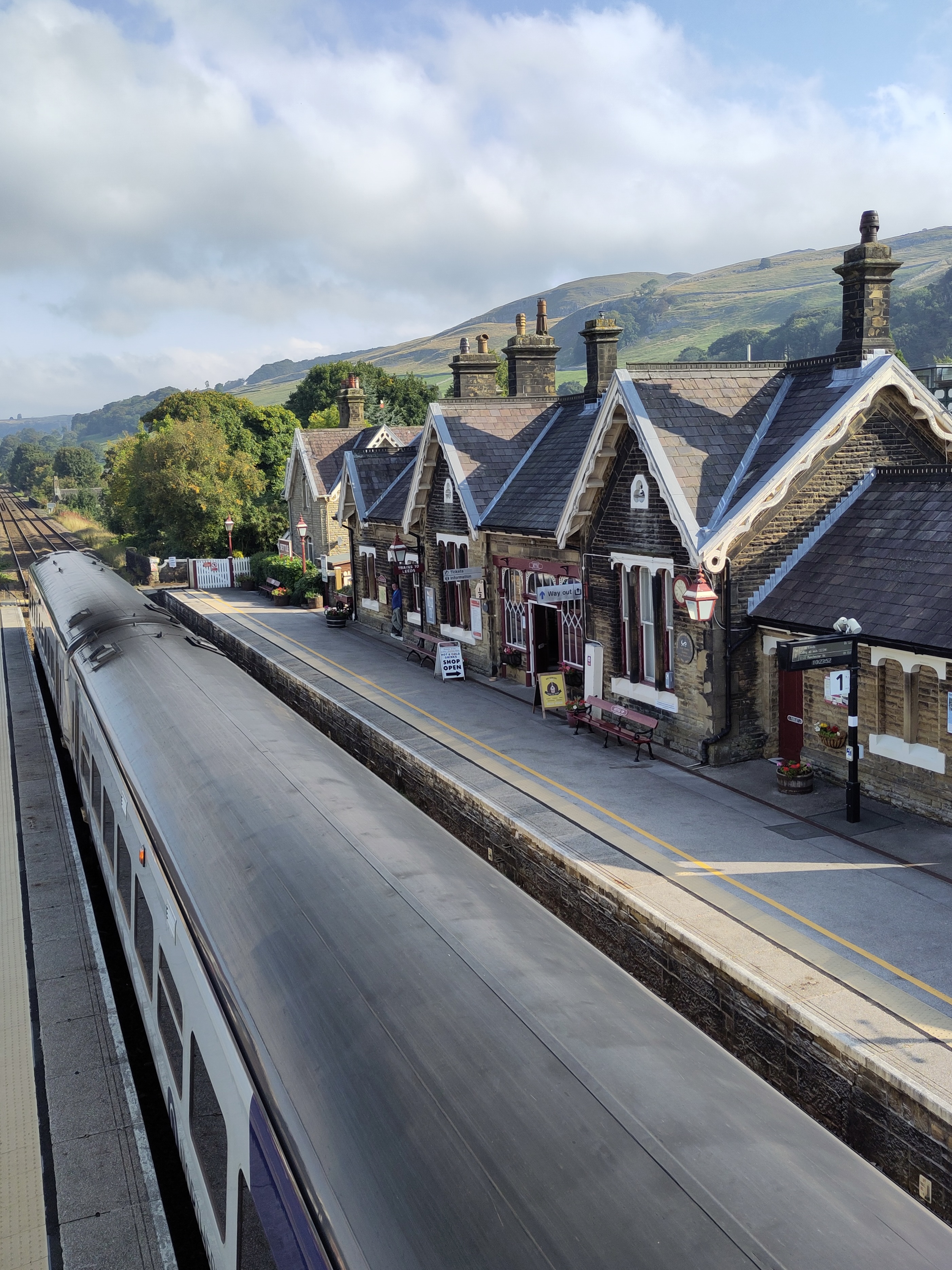
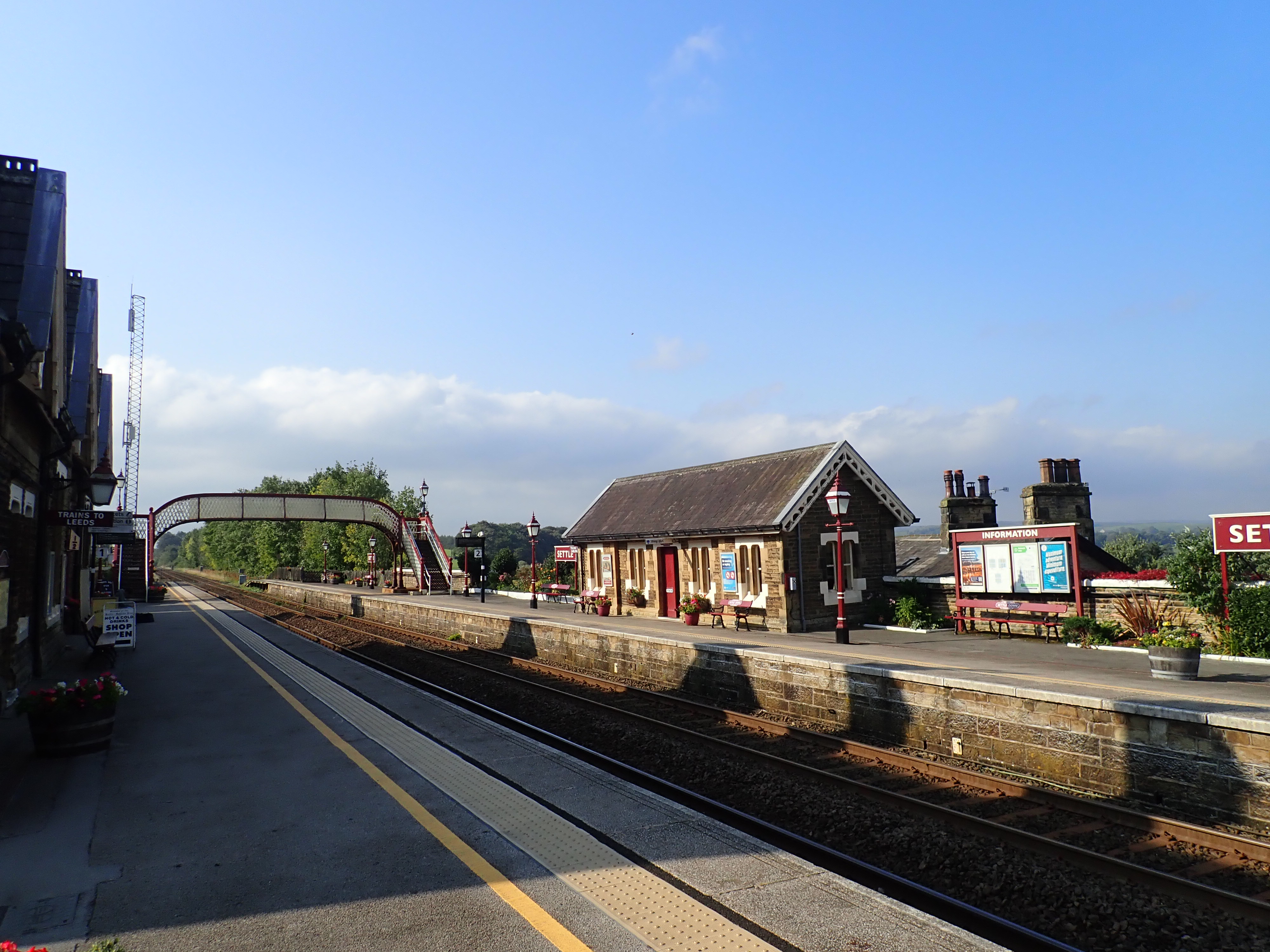
I exited the station, walked past the grand Settle Station Water Tower, and headed into the town. I was feeling positive as I passed attractive stone houses and entered the town’s market square. There were a surprisingly large number of bikers in the cafes around the square, as well shoppers and the occasional walker like me. I took the Constitution Hill lane steeply up past gorgeous, terraced houses. The road curved to traverse along the dale and, not long after, I left the lane to take a track uphill. This ran between two drystone walls and cut across meadows as it headed diagonally across the hill side.

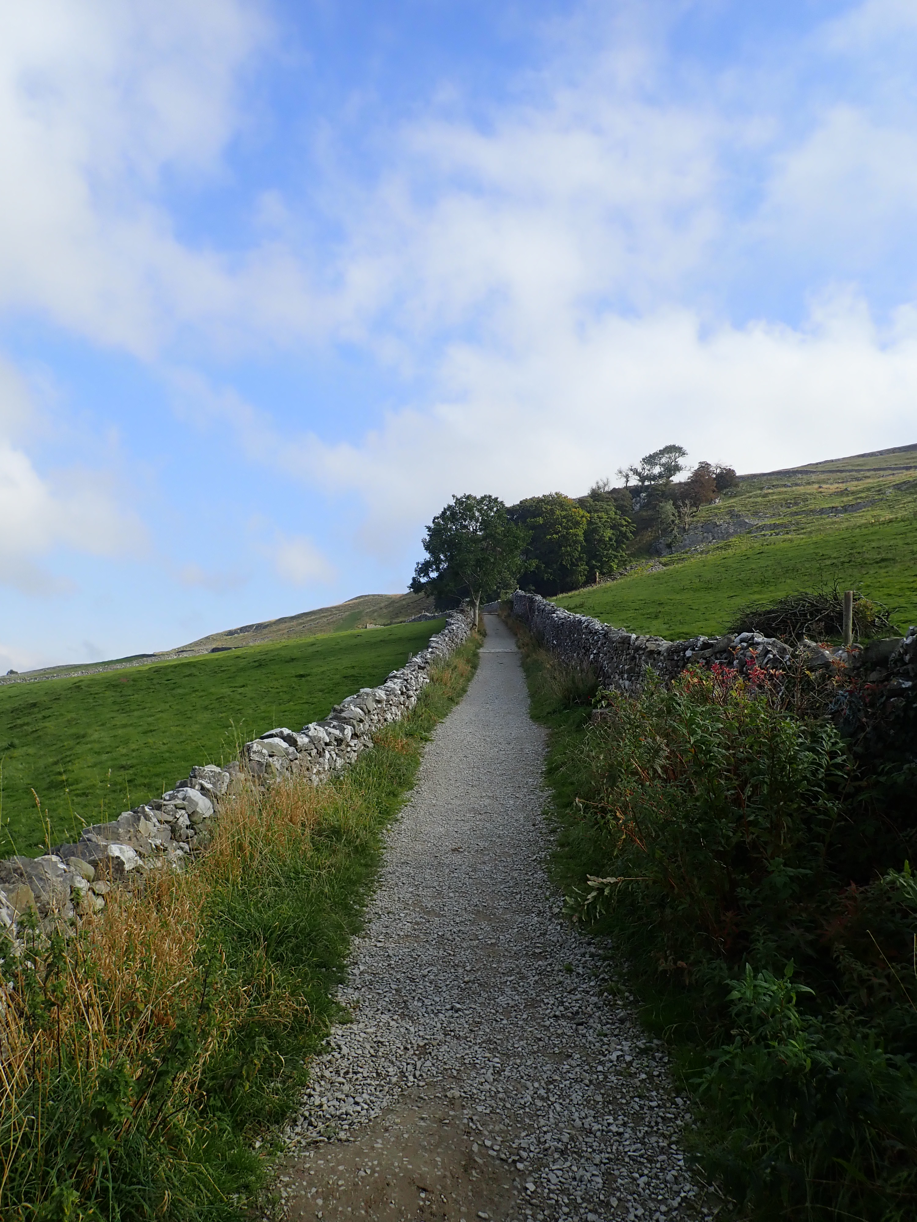
By this point I was on the Dales High Way. This long-distance path runs for a little over 90 miles across the Yorkshire Dales from the UNESCO World Heritage Site of Saltaire to Appleby-in-Westmoreland. As the name suggests, it takes the high ground through the Dales as much as possible. Stepping onto the Dales High Way was the start of the fantastic views I would have throughout the day. The first of these were great views over Settle and the start of Ribblesdale that became wider and more impressive as I left the track and turned to climb a steep, grassy slope.

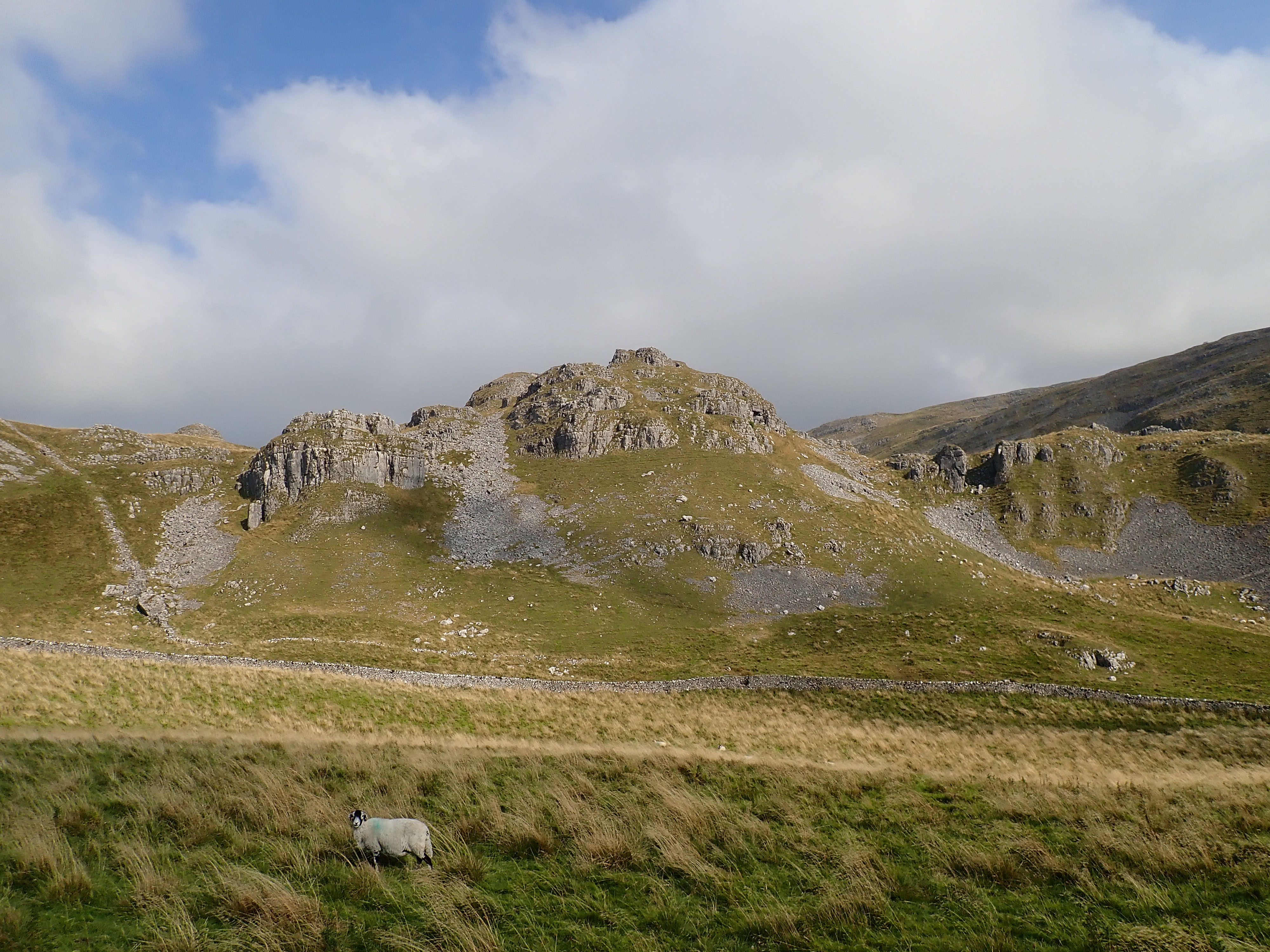
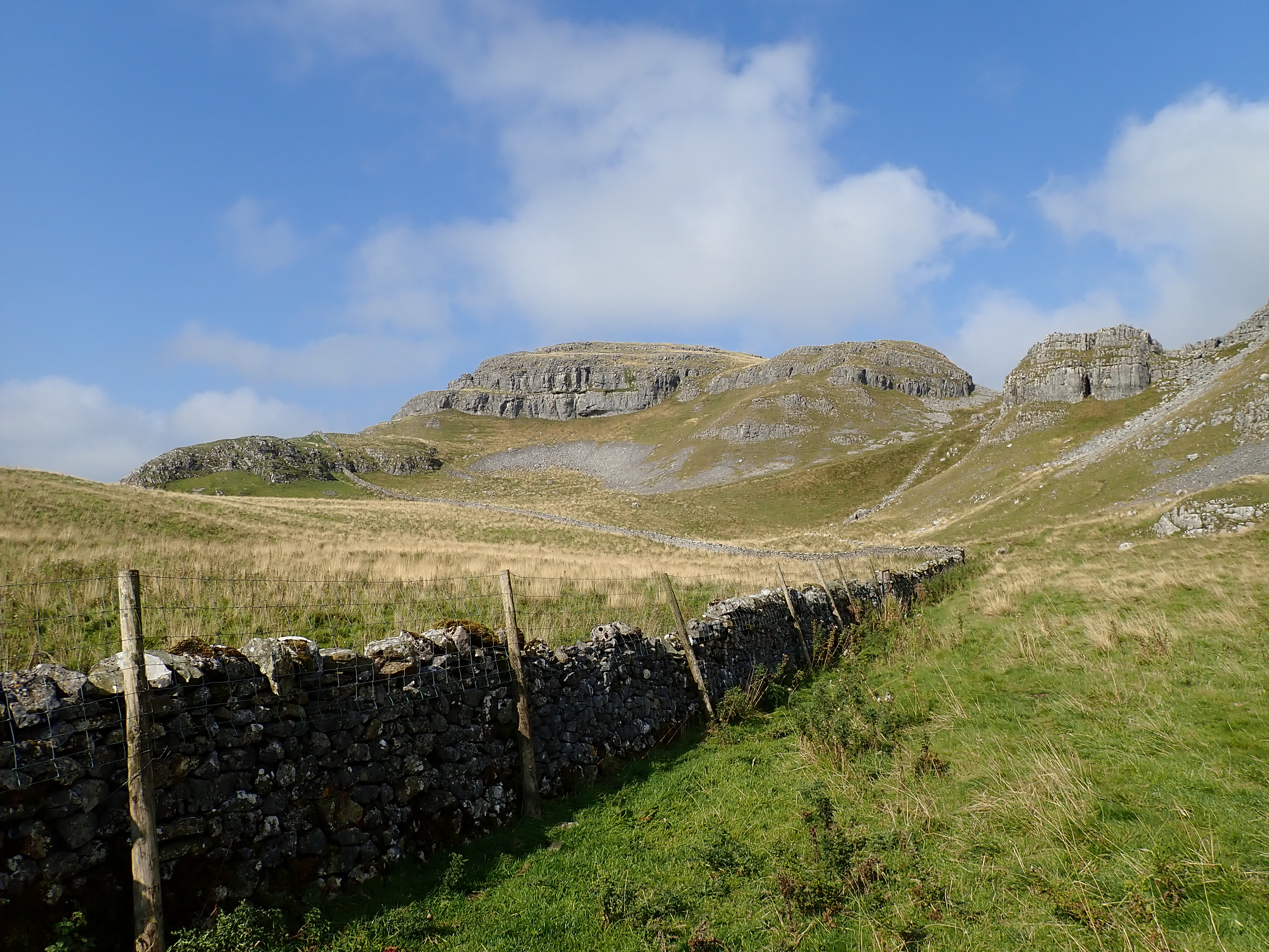
As the path began to level out, the broken, tiered limestone cliffs of Warrendale Knotts came into view. This part of my walk was sublime. I followed a grass track through a rolling landscape of pastures with long, golden grass, divided by drystone walls. In one direction, the pastures became moorland, and in the other direction they rose up into slopes scattered with boulders and scree. These slopes met the smashed limestone cliffs of the hills and plateaus that make up Warrendale Knotts and, beyond that, Attermire Scar. I could see some of the caves that this area is famous for, and decided that I should come back another time to explore these when I had more time and wasn’t carrying a large rucksack.


Just below Warrendale Knotts I came to a grass-covered mound with piles of stones, rock slabs, and cast iron panels. One of these panels was vertical, while the others lay scattered across the rocks and ground; some of these panels had lines and concentric circles etched on them. There was also a cast iron plate slowly being swallowed by the earth that was marked with the words “Woods Target, 1860, T. Richards & Co., Bishopsgate, London.” I found this mound of stone and metal puzzling. My first thought was that it was some sort of industrial relic, but I couldn’t work out what it was and why it would be there.

I did some internet research when I got home and was surprised to discover that these were the remains of a 19th Century rifle range. It was built for the Settle Volunteers, one of the local volunteer rifle corps set up in the mid-19th Century in response to fears of a war with France. The men of the Settle Volunteers were eventually transferred into the Territorial Army, and they continued to use the Attermire Rifle Range until the First World War. The range was then brought back into use by the Home Guard during the Second World War.

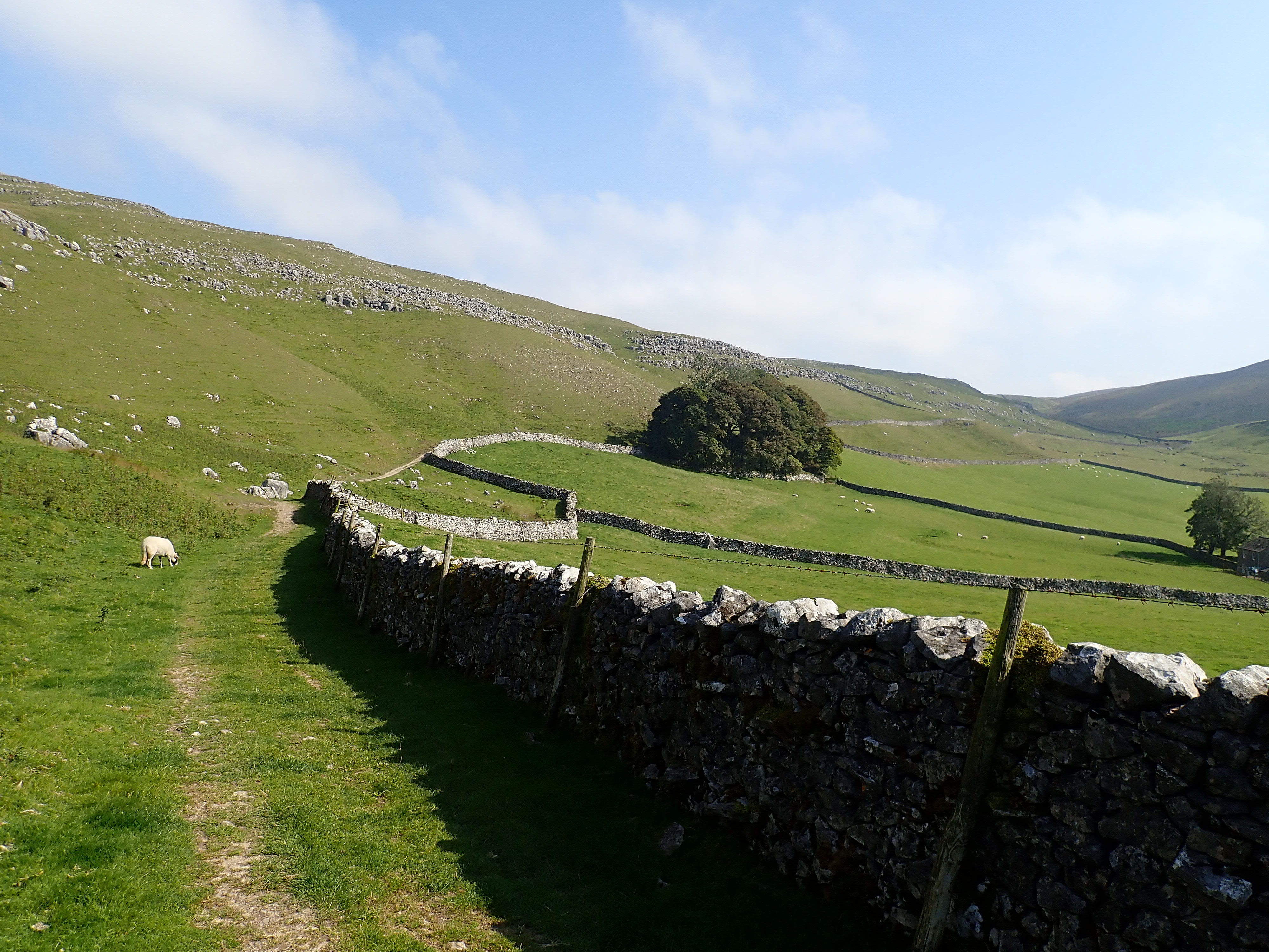
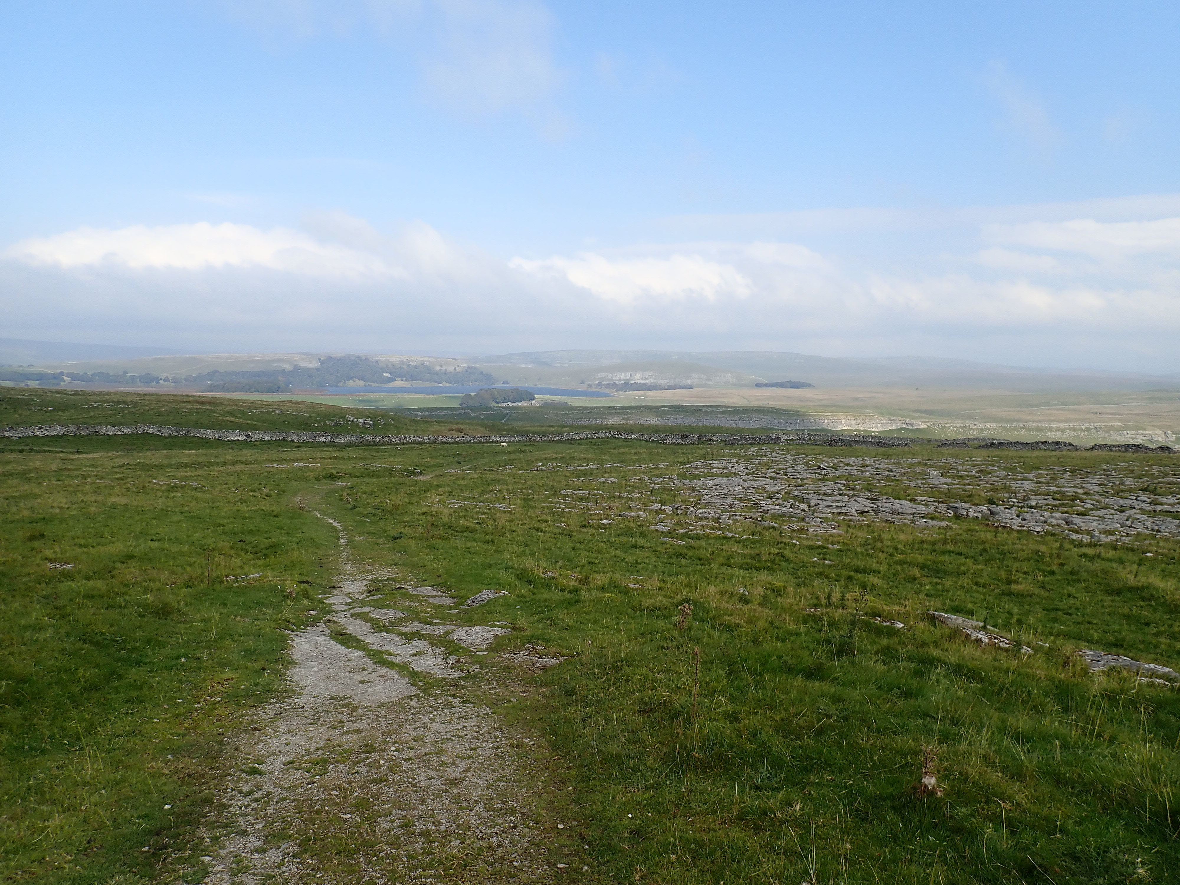
I carried on skirting along the bottom of the plateau until it reached a gate in a wall. I went through this to a lane, which I then followed up a peaceful and pretty valley. It felt like a change in tone from the dramatic scars and wild grasslands I’d just been walking through. This was a secluded, gently sloping valley of green pastures, sheep, and a single farm. At that farm’s gate, the lane became a track that slowly climbed towards the head of the valley. As I followed this track, I passed attractive limestone boulders and small scars as the pastures steadily gave way to moorland, and the track became rougher.

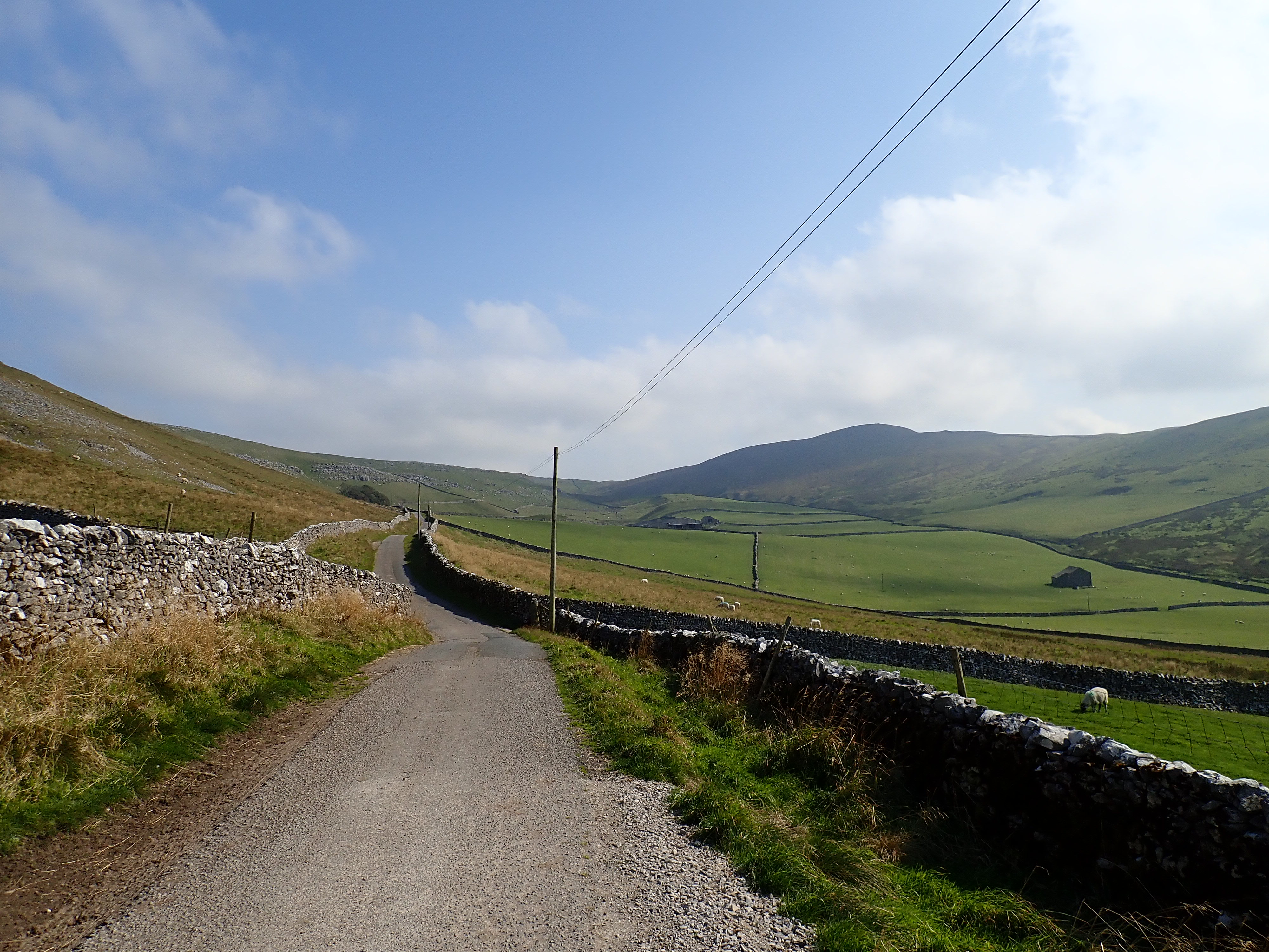

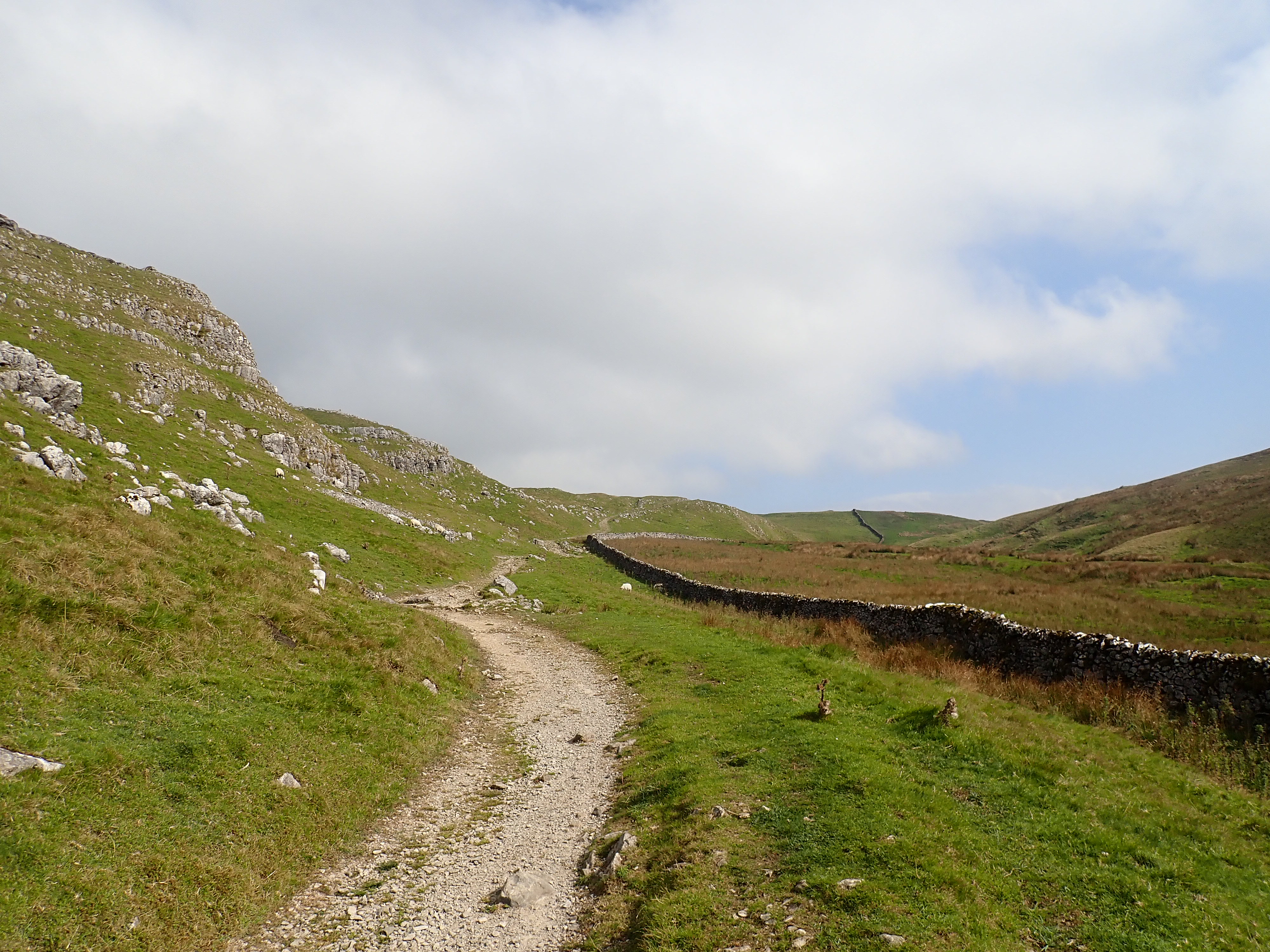
I continued out of the valley and past the slopes of Rye Loaf Hill by the Dales High Way. After the crest of a small ridge the track became a narrow path following an almost straight line across Kirkby Fell. There was bright sunshine and a wind that was trying to steal my hat. At a wall that cut across the moor in front of me, I turned to take a path following the wall, and gradually descended the fell. Malham Tarn came into view in the distance, and I felt pleased that I had nearly achieved the end of my first day of the walk.


In the wall I was walking by was the puzzling sight of Nappa Cross. This is one of the medieval stone crosses that were built to simultaneously reinforce travellers’ Christian faith and literally mark the way for them. These wayside markers are apparently not that common in the Yorkshire Dales. The only original part of Nappa Cross that remains is its stone base, which has a square socket for the cross. What I found puzzling about Nappa Cross is that the newer shaft that was added to this medieval base in 1965 is not a cross, but a rectangular post. It seems an odd choice, as a stone cross can’t be much more effort to make.

The path carried on down the moor past limestone pavements, with Malham Tarn getting larger directly in front of me. Where the path met the track of the Pennine Bridleway, I turned to follow this east towards the heart of Malham’s karst landscape. The limestone cliffs of Dean Moor Hill, Ing Scar, and Comb Hill looked fantastic in bright sunshine. After crossing the road at Langscar Gate, I walked along a path at the edge of a deep pasture, and then down a small gorge by Ing Scar. This brought me to one of the best sights in the Yorkshire Dales, the stunning view down Watlowes dry valley. This had been a spectacular day of walking.


From there, I headed to the place I was going to wild camp. I had organised the site for my wild camp through CampWild , an online platform that allows you to find and book wild camping in England, Wales and Scotland. For an annual fee, you get to access their map of wild camping spots, as well as planning tools, and other resources. There is a fee for each night spent at a wild camp site (which they refer to as Wild Spaces) booked through them. CampWild work with landowners to get permission for people using their platform to camp on their land, with the landowners receiving income in return. This approach is fair and tackles the issues of wild camping only being legal in England and Wales with the permission of the landowner, and of people stealth wild camping because they don’t have that permission. CampWild also provides information and encouragement for responsible wild camping. When you book a Wild Space, you get further information about the site, including directions (with a map, photos, grid reference, and what3words reference) to help you get there. CampWild also offer profiles of what they call Wilder Campsites, and it was through this that I found out about the camping at Nethergill Farm that I used on my last two-day walk. I think CampWild is a fantastic idea.

For a platform like this to work, it’s essential that people don’t give away the location of the Wild Spaces. This is why a condition of booking a Wild Space is that you don’t share the location on social media. This is the reason that I’m not saying anything here about where I camped, and not describing more of this first day of my trip. Even describing where I walked to from Ing Scar, or the features around the Wild Space, could give its location away. What I can say is that my wild camping spot was amazing and a great place to spend a night in the Yorkshire Dales.
My next day of walking proved to be a bit different.
To be continued …
UPDATE: 23 November 2024 – I’ve now written a post that continues and concludes the story of this walk. It can be read here.

Those are absolutely ALL my old stomping grounds! Many’s the time I worked my way up the rakes between the limestone crags on Warrendale Knotts and wished I had a partner to climb the tiers with. Next time you go, you’ll have to bring climbing gear and I’ll meet you for some climbing on it. Attermire is the more usual climbing but I never fancied that myself.
Despite all my visits, I never knew or saw anything about the rifle range though…
I have a post on my blog about my exploration of Warrendale Knotts anyway. Also one about my trip up Rye Loaf Hill and onto Malham. I also have a Gordale Scar to Malham Cove post which does Watlowes Dry Valley etc. I used to be in all those areas a lot. Wonderful area to explore – and all the caves are interesting too.
Didn’t know about the ‘CampWild’ thing. I have to say the ‘What 3 Words’ thing really gets on my wick though – what on earth happened to grid references?!
Those are good stomping grounds.
I did see some climbers up on Attermire Scar when I was there. The whole area looks like it would be lots of fun to explore. I’ll have a read of your posts about the area.
I still had a grid reference to go on to find my wild camping spot. I can understand how what3words will be better for people who have never been introduced to grid references or find them a bit intimidating. I could see me using it if, for example, I had to call an ambulance to an accident on the street in an urban or rural area and was struggling to find an address to give.
I was reading a post from an emergency services dispatcher last night and he doesn’t like w3w either – he reckons it will get people killed. The points he made is that it’s harder to understand 3 words on a phone than it is to hear 6 numbers or whatever. He also said that someone having an accident in the outdoors won’t know their w3w location whereas they will be able to work out a grid ref from their map (or whoever finds them will be able to).
I suspect that what3words is one of those tools that works best in certain situations. If you’re well versed in map reading, then you may not need it much. My feeling is that having several tools available is not a bad idea because it means there is something in the tool bag to cover any circumstances.
Very true – I’m sure you’re right. It’s probably the Luddite in me which makes me hate it.
I actually really miss that particular area – I was having to pass it on my way from Carlisle to Skipton on a monthly basis and always looked up at Warrendale Knotts as I passed through Settle. I used to gaze at The Three Peaks as well if they were out – I might yet get back to those though… I’m not doing the journey any more since both my parents eventually died though…
It’s a fantastic area.
I’m sorry for your loss.
There are lots of places in the mountains that I associate with good times and with particular people, especially my Dad. It feels like that link between a physical place and those memories makes those memories seem more tangible and vivid when I return to the place.
To be honest, I was expecting my mother to go pretty soon – she was 96 and had been in a care home for 2 years and lost all her mental capacity – she didn’t seem like the mother I knew any more. My Dad was a shock though a couple of years before.
But when I used to go to Warrendale/Settle/Malham etc., I was usually driven there by my parents who had a quieter day while I went for a long walk. Often it would be a traverse to somewhere else and they’d potter round in the car stopping and looking at things and then pick me up. All my early walking was done with my parents and I used to walk our moors with my Dad even when he was in his 80s. My mother and I used to camping in her camping van to places like Wales.
Those drives and walks sound good and as giving some great memories.