
My fourth day on the Nidderdale Way had a folly, a close encounter with running deer, and a beautiful old packhorse bridge. All of this on a walk that took me over moors, along riverbanks, through woods, and across meadows. It was a walk with variety, great views, and fascinating historical sights. Unfortunately, this walk also involved a horrible path that has been my low point on the Nidderdale Way.
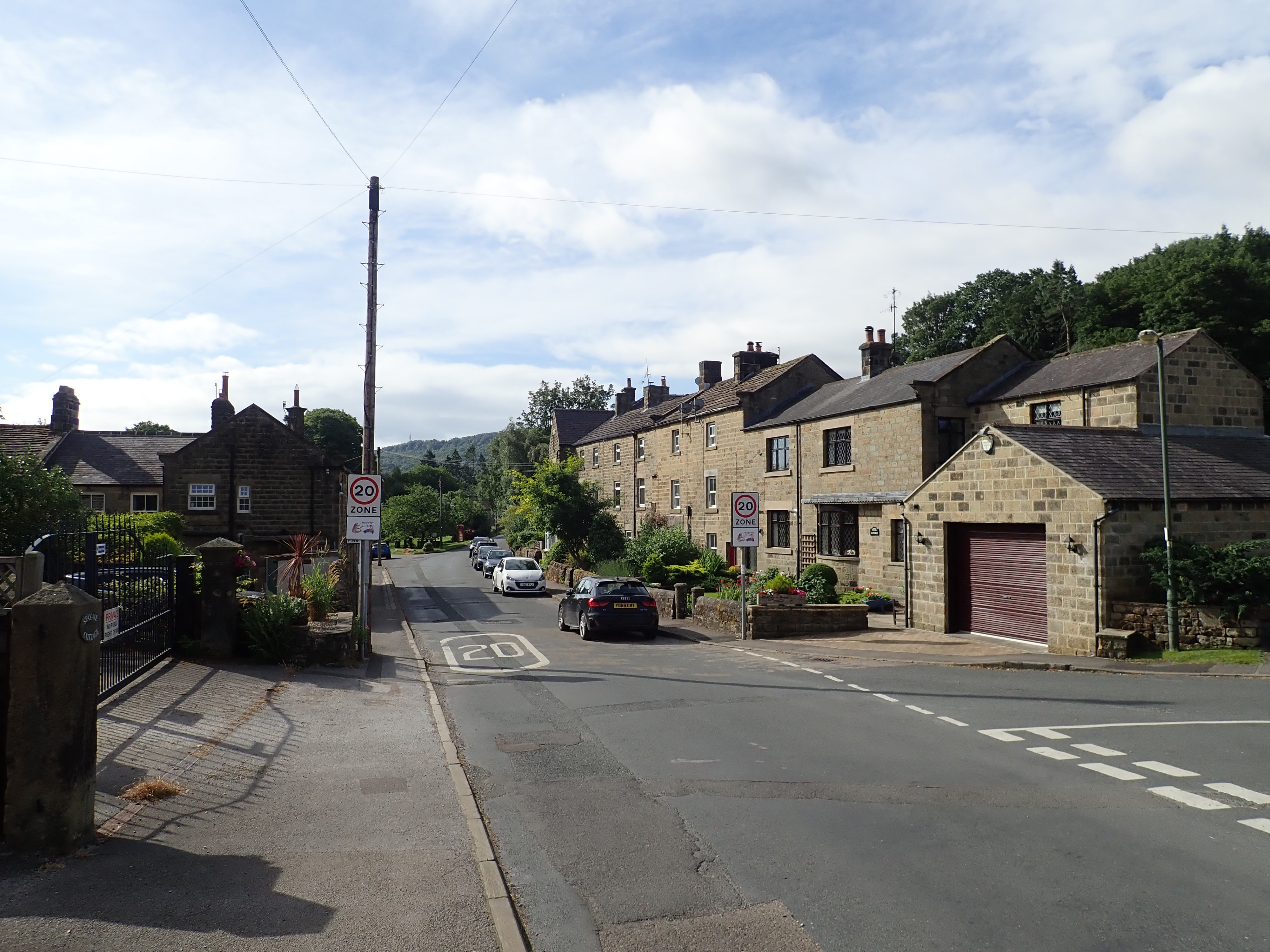
This section of the Nidderdale Way goes along the West side of the dale between the villages of Bewerley and Birstwith. At 9.7 miles (15.6km) in length, it’s the second longest stage when walking the Nidderdale Way in six sections. Doing this linear route as a day walk, rather than as part of one multi-day push along the whole Way, is made much easier by the number 24 bus. This runs along Nidderdale as far as Pateley Bridge, so I took the bus to Pateley Bridge, and then walked about 5 to 10 minutes to where I had left the Nidderdale Way in Bewerley on the last stage. At the end of the day’s walk, I simply picked up the number 24 in Birstwith as it went in the other direction. The only downside to this approach is that the number 24 is infrequent, with services not being less than one hour apart and often a bit over two hours apart.
Once I had arrived in Bewerley, I set off past the village green to find Bewerley Grange Chapel. Bewerley has the only surviving grange from when this area was owned by the Cistercian monastery of Fountains Abbey. The grange is a low, long gritstone building with a slate roof, sitting just behind a wall on Bewerley’s main street. It was built around 1495, and after the Dissolution of the monasteries the chapel was used as a home, a carpenter’s workshop and, from 1678 to 1831, as a school. Most of the grange is now a home, but the chapel was restored and rededicated in 1965. The inside of the chapel is tranquil, simple, and attractive, with an interesting roof of irregular wooden beams.


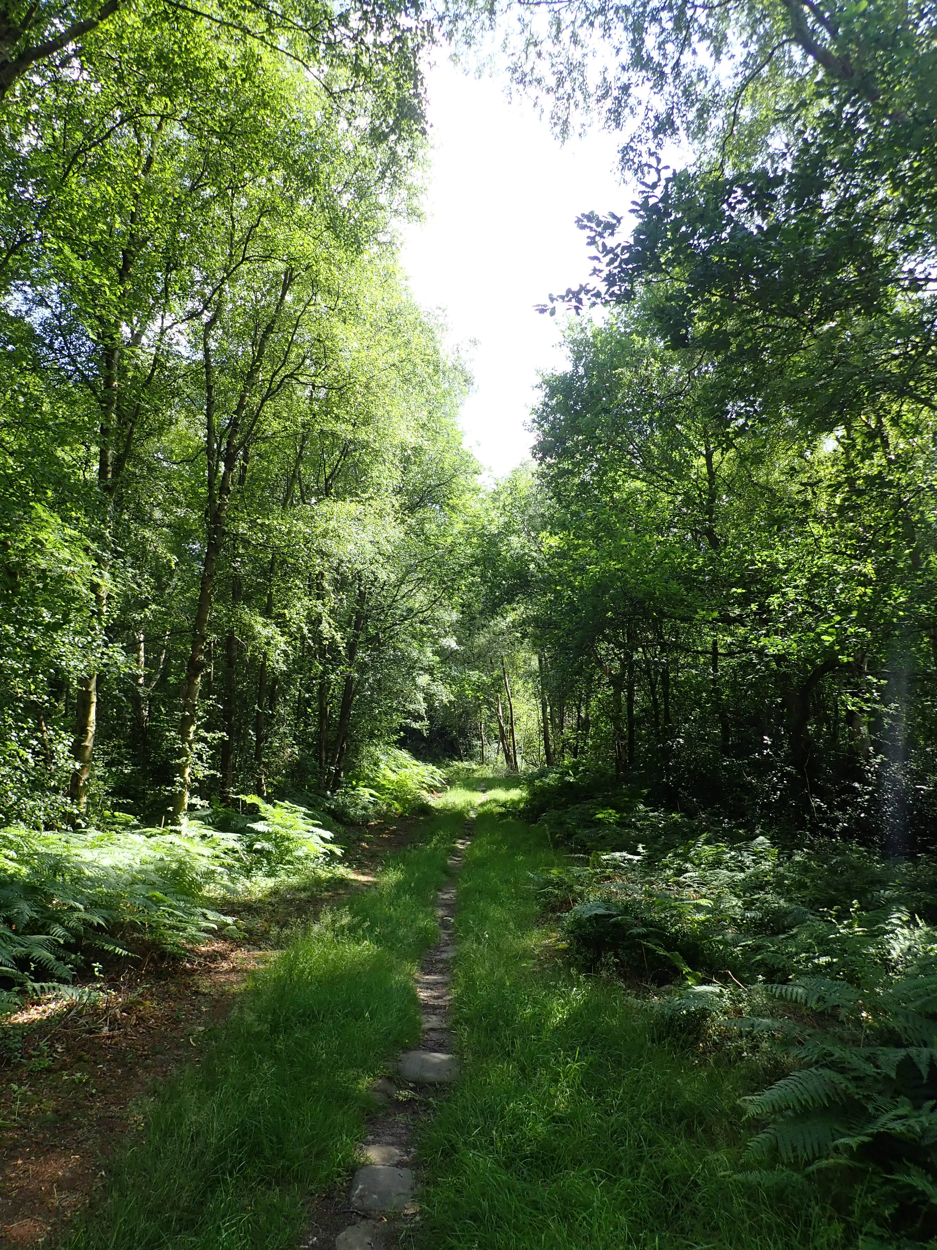
From the chapel, I followed the road out of Bewerely, across a stone bridge, and then steeply uphill. I then left the road to cross a field and to go into Skrikes Wood. A kite flew into the wood as I entered it and landed in a tree not that far away from me. I’ve seen kite’s hundreds of times in the air, but this is the only time I’ve ever seen one perching. It kept an eye on me while making sharp cries, and then flew off.
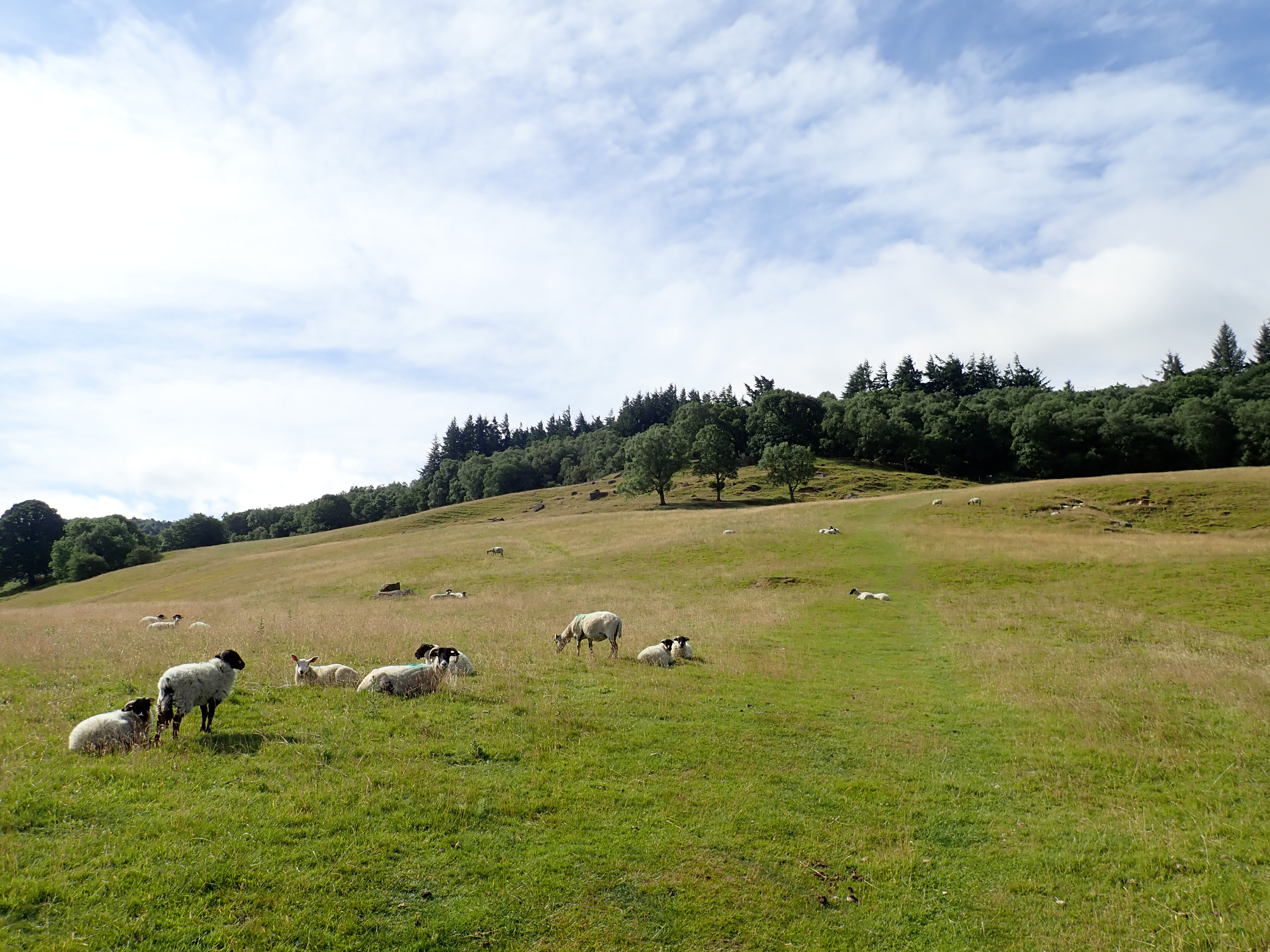

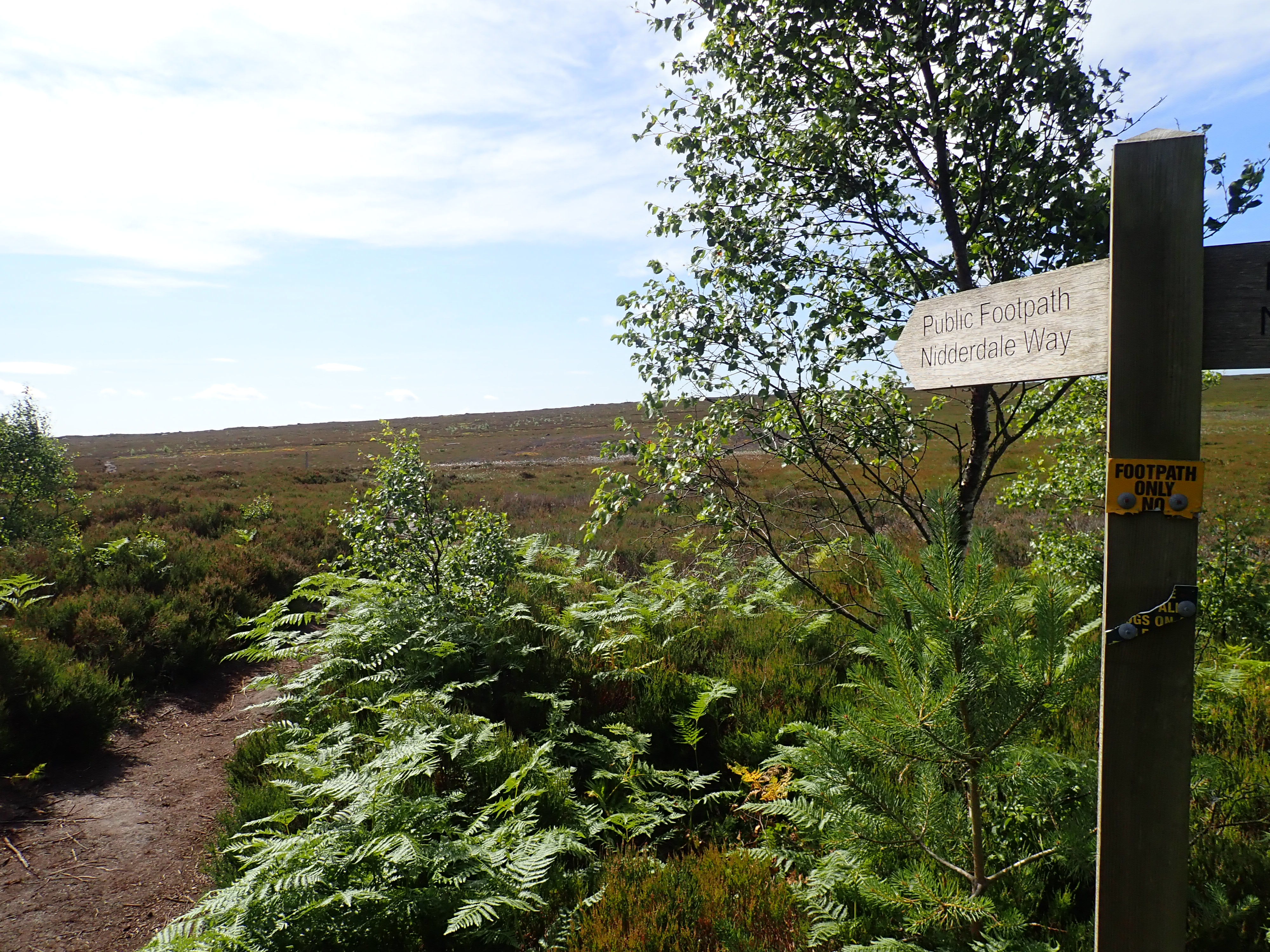
I followed the Nidderdale Way uphill through the woods and into a field of bracken. The bracken thinned out as I climbed onto Nought Moor, to be joined by small trees, grasses, heather just coming into bloom, and bilberry bushes. The views back to Pateley Bridge and across Nidderdale were fantastic as I walked along the edge the moor towards Yorke’s Folly.
Yorke’s Folly (also known as the Two Stoops or The Stoops) are a pair of stone pillars that sit proud above Guisecliff. They are designed to look like the ruins of an arched window, as if a great church had once dominated the skyline. The reality is that this folly was built in the late 18th century at the bequest of John Yorke, a member of a wealthy local family. The construction of the folly seems to have served two purposes. It provided an interesting and attention-grabbing monument to see from Yorke’s home in Bewerley, and it gave work to unemployed local miners who had been hit hard by a recession in the mining industry. Standing by Yorke’s Folly, I wondered if these men had worked at the Prosperous and Providence lead mines that I had visited on stage 3 of the Nidderdale Way.
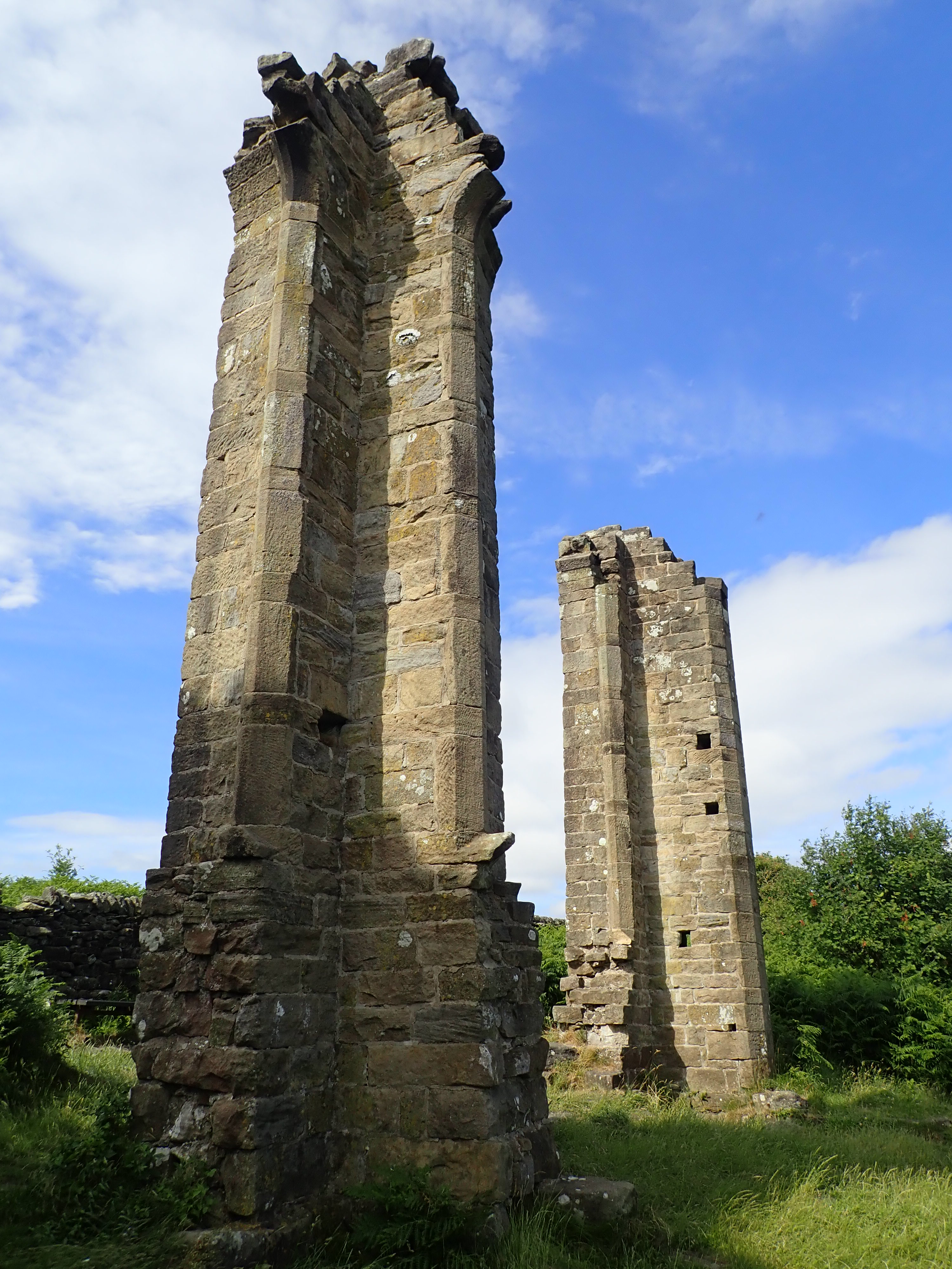
Yorke’s Folly originally had three columns, but the largest column collapsed in a storm in 1893. If you are interested in learning more, there’s a good history of Yorke’s Folly on the website The Folly Flaneuse.

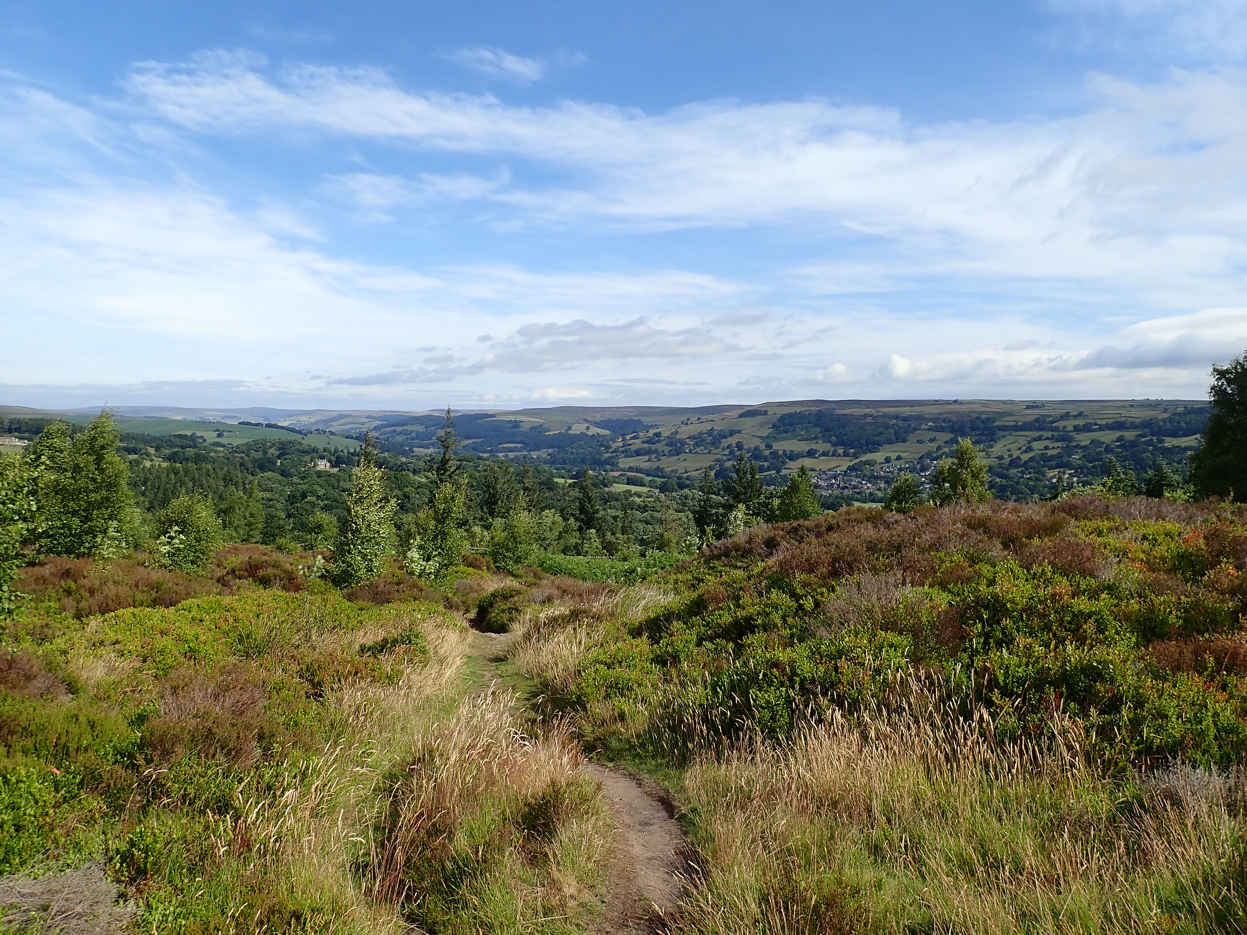
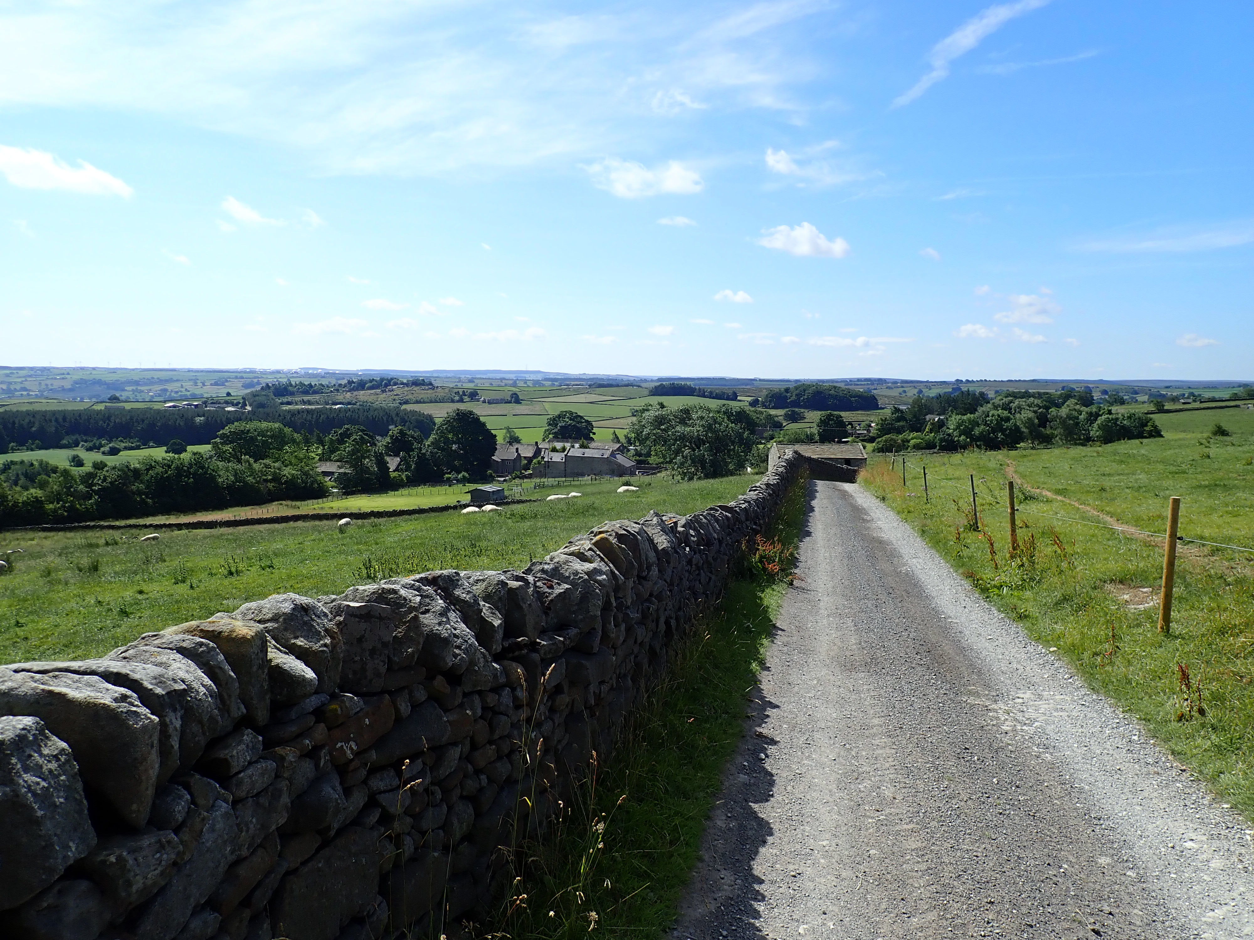
The two columns are a fantastic sight and are a good spot to admire a great view of Nidderdale. After stopping there for a while, I carried on following the top of Guisecliff until the Nidderdale Way struck out across the moor towards the communications mast at one end of the crags. From the mast there are brilliant views of Brimham Rocks on the other side of the dale, down the dale, and towards the giant golf balls of Menwith Hill. The Nidderdale Way then follows a well-maintained track southward along the edge of the moor, before descending to the hamlet of Heyshaw. It’s then a walk across farmland down into the dale to meet up with the River Nidd at Dacre Banks.


After walking along a residential street, and then the main road going through Dacre Banks, I passed Nidd Valley Sawmills. I find this rundown mix of green painted sheds and stone buildings strangely fascinating. This is perhaps because, whenever I pass here, I wonder what the mill were like when it was still running and what it’s now like inside. The mill was put up for sale in 2017 following the owner’s retirement. Recently there was a proposal to turn the site into homes and a glamping pods site, but North Yorkshire Council refused the planning application. Now it looks like the mill is succumbing to nature and decay.

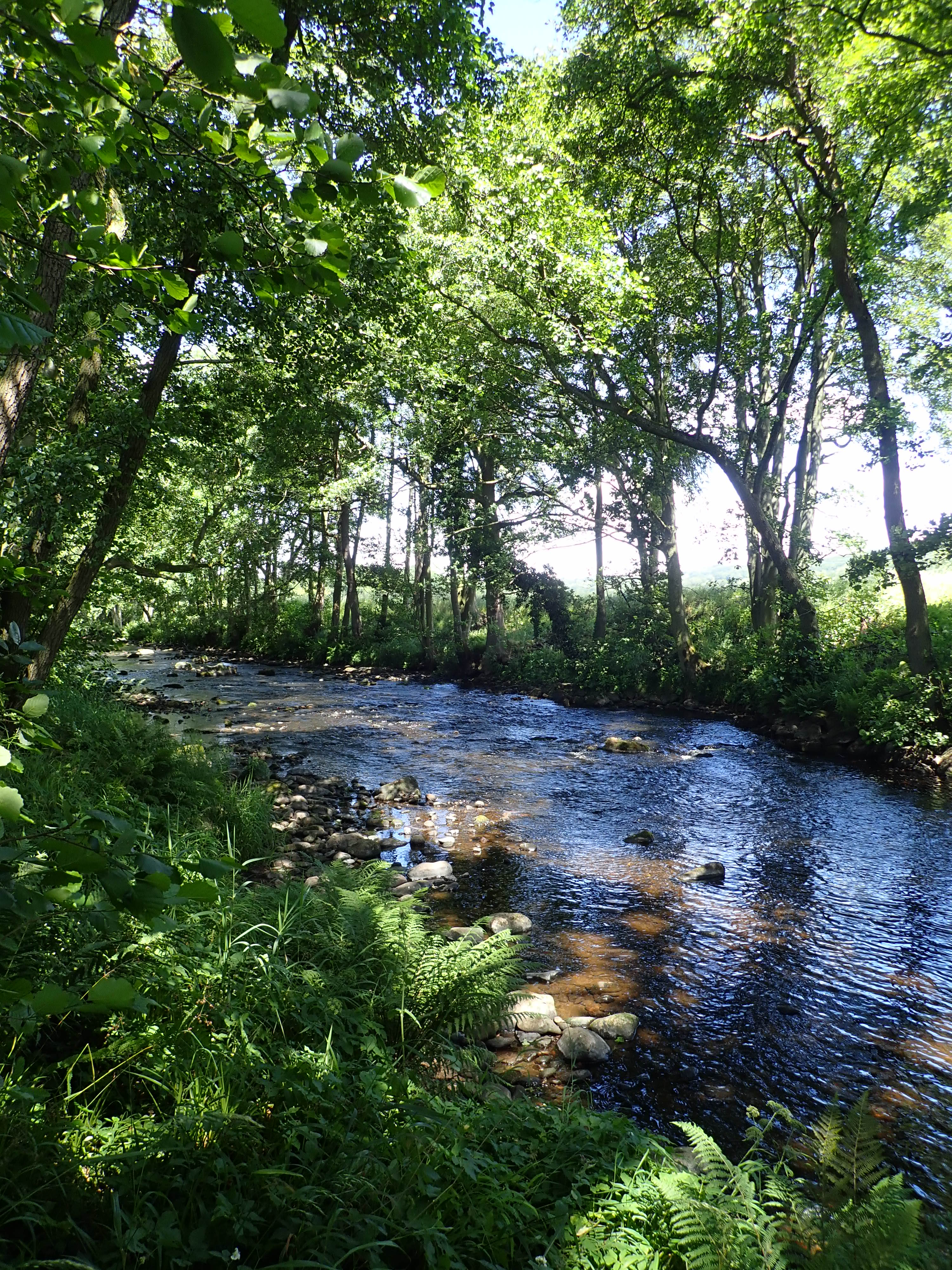
On the other side of the road from Nidd Valley Sawmills is a slot in a stone wall. I squeezed through this and a down a flight of steps; then past a bowling green, tennis courts and a playground to pick up a narrow path running along the bank of the Nidd. The next two miles (a bit over 3km) were a lovely walk with the tree-lined Nidd on my left and fields (and the occasional house) on my right.

After a little while, I went down the bank to look at the river. As I was about to go, I heard splashing upstream and turned to see a Roe deer running down the river towards me. Another deer appeared a moment later, first running in the river and then sprinting along the bank. The deer were so preoccupied with their chase that they didn’t see me until they were almost on top of me. Both reacted with a little burst of speed as they rushed past, with the deer on the bank only a couple of metres from where I stood. I watched them bound into the trees and then, once I was back on the path, saw them dashing across the fields. My guess is that these two bucks were making an early start to the rutting season. It was an amazing experience.
At the point where the River Nidd began a long bend around to the East, the path came close to the embankment and stone underpasses of the disused Nidd Valley Railway. This opened in 1862 to carry linen, lead, and limestone out of Upper Nidderdale and to bring coal and fresh produce in. It ran from Ripley Junction to Pateley Bridge. It was here that it joined the Nidd Valley Light Railway, which carried cargo and passengers for the construction of the reservoirs at the head of the dale, and which I’d followed on the first and third stages of the Nidderdale Way.
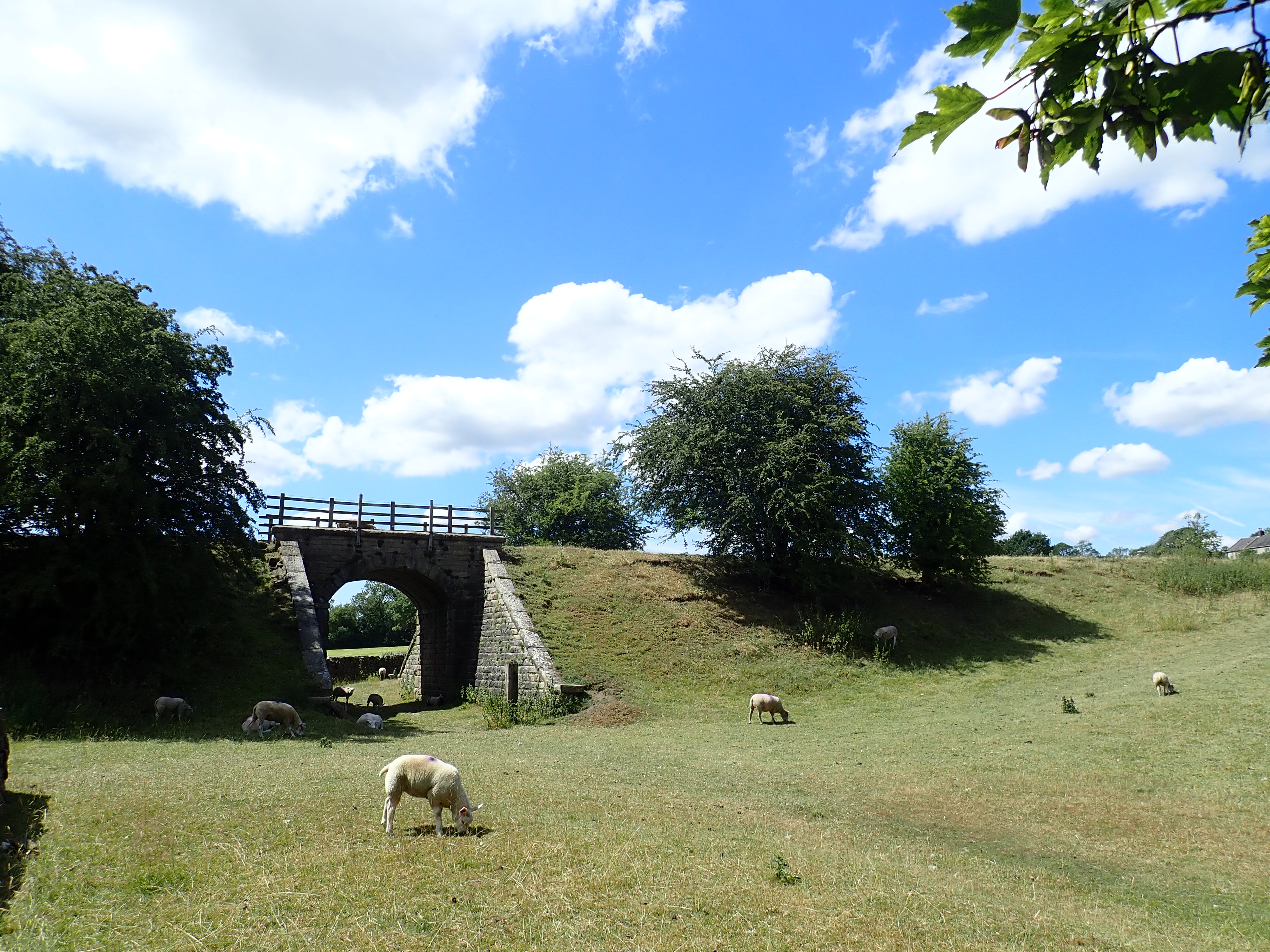
The closure of the Nidd Valley Light Railway in 1936 and competition from a bus service contributed to the decline of traffic on the line. It ran its last passenger train in 1951, and the last goods service in 1964.
A section of the track bed of the Nidd Valley Railway makes up part of the Nidderdale Greenway. This is a walking, cycling, and horse-riding trail that runs from Harrogate to Clint, using the route of old train lines. There’s a proposal to extend the Nidderdale Greenway to Pateley Bridge using the track bed of the Nidd Valley Railway. It’s even been suggested to use the track bed of the Nidd Valley Light Railway to carry on the extension to Wath, and perhaps on to Scar House Reservoir. This would be an epic and amazing trail.

The Nidderdale Way leaves the River Nidd a little way after Darley. It heads uphill through fields and meadows to the woods near Reynard Crag. I followed a narrow stone-flagged path up through the woods to Swarcliffe and to some good views across the dale. My guess is that the Nidderdale Way primarily takes this route up a hill to avoid a long section of walking on a busy road, because from Swarcliffe the Nidderdale Way simply goes back down to the river. It gets there by taking the access track to Bell House, and then skirting its gated entrance to head down a narrow path between a wall and the trees of Wilson’s Plantation. This must be one of the most unpleasant footpaths I have ever walked. It was overgrown with nettles, brambles, holly, and bracken, was swarming with flies, and smelt like something had died. I was relieved to leave it behind to go across a field and, after a little bit of road walking, head down a track to the river.


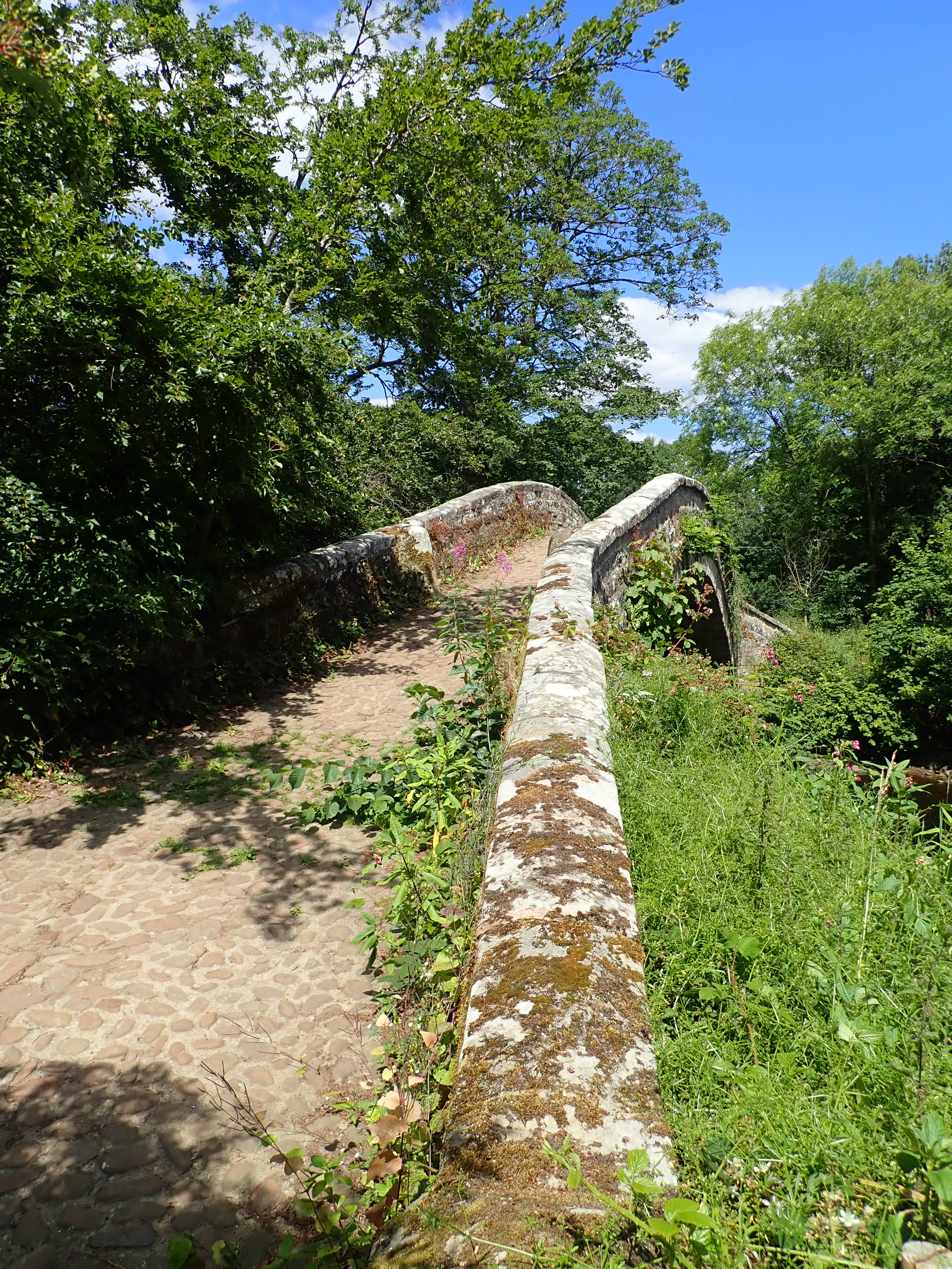
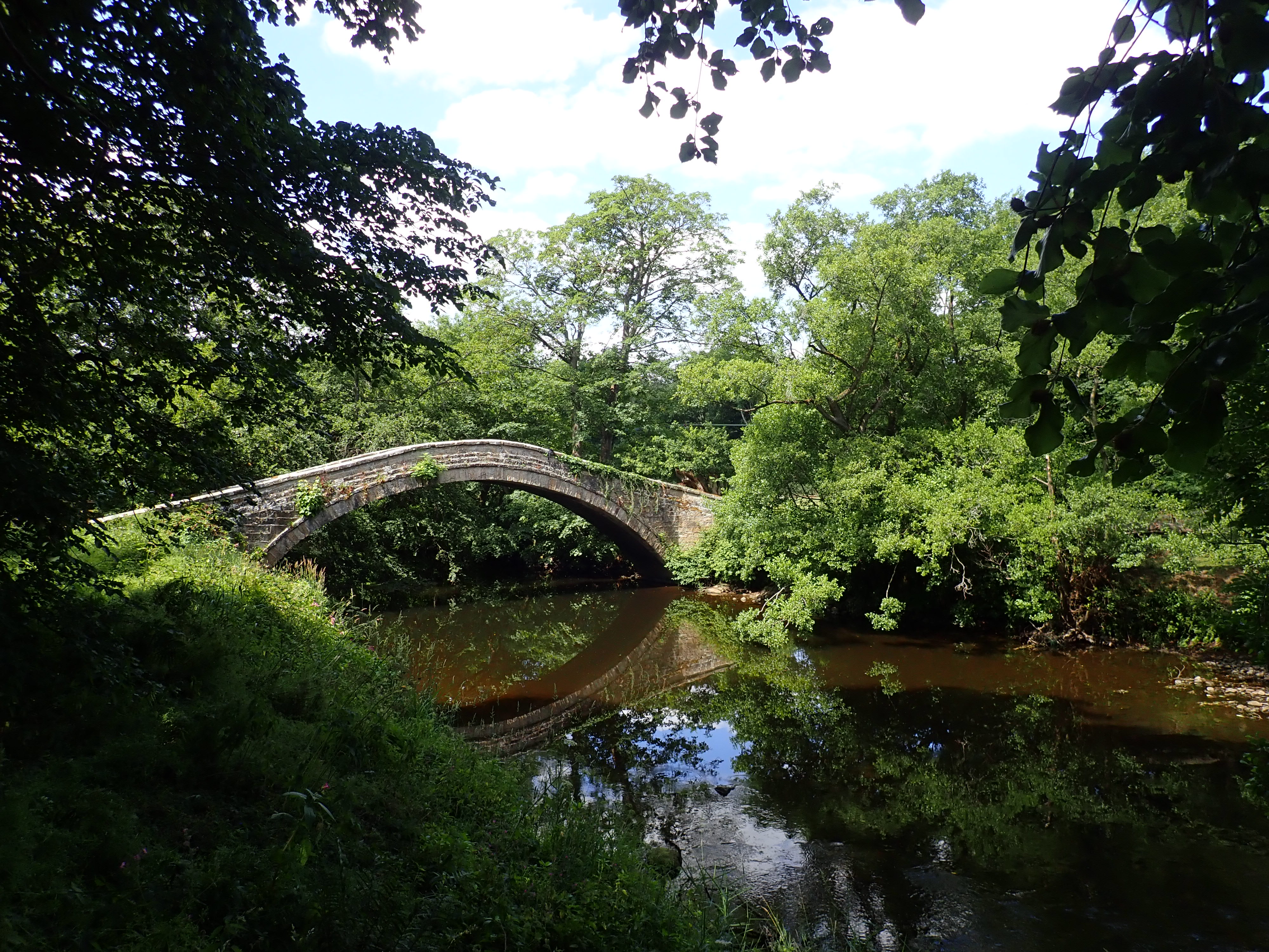
Spanning the Nidd at the point where the Nidderdale Way re-joins it is New Bridge. It’s an elegant stone bridge paved with river stones. New Bridge’s name might now seem like a misnomer, considering it was built in 1822. However, the name does make sense when you realise that it’s likely that New Bridge was constructed using stone from another bridge that was built in 1615 on the packhorse route from Otley to Ripon and which stood 25 metres upstream. What I have not been able to find out is why people went to the notable trouble of demolishing the original bridge and moving it such a short distance.
From New Bridge it was about a kilometre of enjoyable walking by the river to Birstwith. I took a right to go up the brilliantly named Wreaks Road to search for an ice-cream at the local shop and to catch my bus.

The bus shelter next to the shop is the nicest I’ve ever waited at. Built as a war memorial, it’s a stone building with the name of the village above the entrance in white-painted wrought iron. It has two clean windows, planters bursting with flowers by the entrance, benches around the walls on the inside, and a fluffy dog bed for canine bus users. I had as pleasant a time as is possible waiting for a bus. After a while the number 24 arrived and I began my journey home.


The deer encounter sounds great – I’ve heard of that sort of thing before.
My mother once set off on a wander from Embsay (Skipton) and ended up at Dacre Banks. She just kept thinking she’d just go a little further, then a little further… The guy who gave her a lift back couldn’t believe it!
I was lucky to see those deer, and am really pleased I got to see them.
That’s a long way. Impressive.